Temperature: -12º F
Wind Chill: -12º F
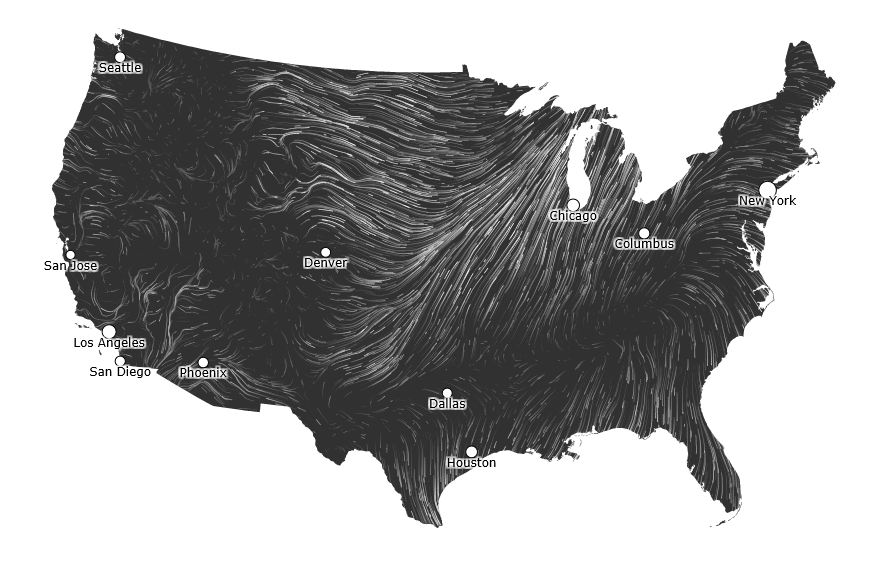
Wind: 4 MPH SSE
Dew Point: -17º F
Precipitation: 0 inches in the last 24 hours
Today was actually a quite lovely day for January. The winds stayed low for the majority of the day and the temperature, while lower, wasn't really that bad. The walk to class didn't cause my toes, face or hands to freeze, so I would say that today was great. The skies were wide open and the sun shined all the brighter. The snow from the past few days has accumulated quite a bit and seems like it is in it for the long haul. Many residents of Eau Claire are still feeling the affects of the most recent snowfall both physically and mentally. My hope is that it warms up soon and snow stops!

The current conditions are very chilly, but as I stated above it was actually a pretty nice day over all. The wind is very calm at the moment and is coming from the South. We have a high pressure system sitting over the top of Wisconsin currently which is driving the winds away and creating clear skies. While it is currently balmy out, I think tomorrow will heat up a little.

My predictions from yesterday were fairly accurate, however I wasn't able to get the temperature right. I think that my skills are developing as I learn to read more weather maps. It appeared after looking at my predictions that I actually nailed quite a bit of it. Huzzah!